
Briny Breezes
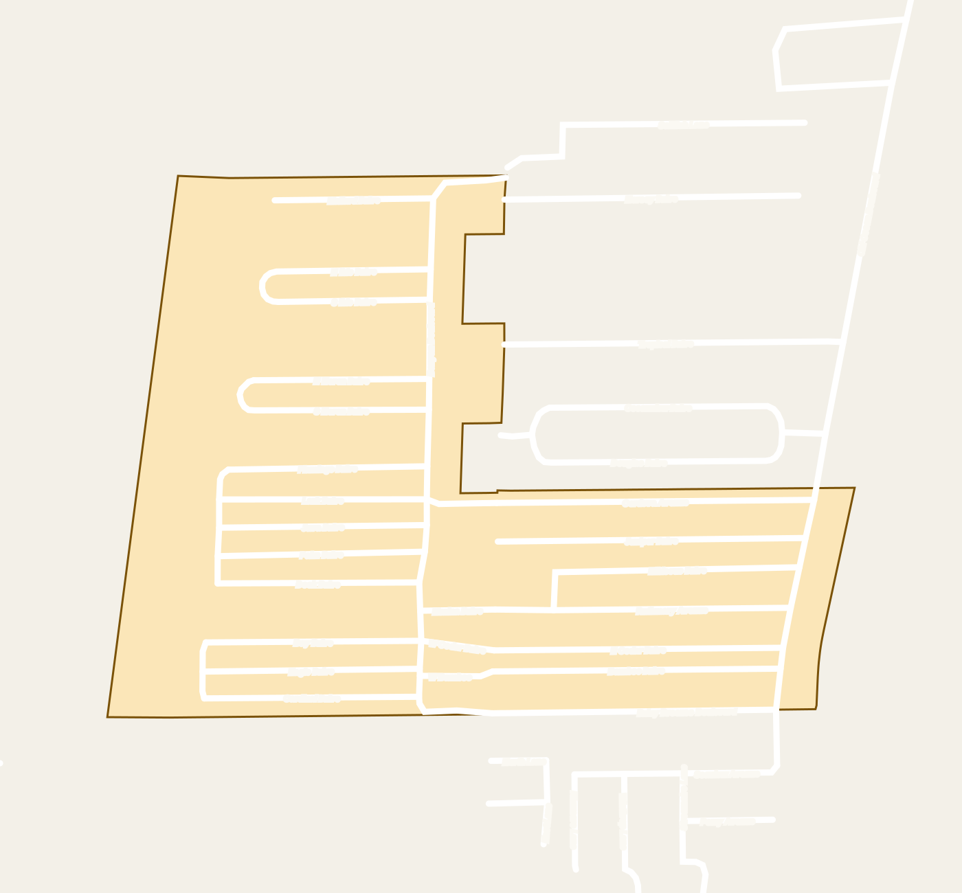
Briny Breezes is an incorporated town in Palm Beach County, Florida. The county's municipal-boundary layer holds its town limit as one boundary named BRINY BREEZES, full name TOWN OF BRINY BREEZES.
The Town of Briny Breezes is one of the 39 municipalities on Palm Beach County's municipal-boundary map, and its town limit encloses about 45 acres. Interstate 95 is about 1.6 road miles away.
The Town of Briny Breezes is one of the 39 municipalities on Palm Beach County's municipal-boundary map, and its town limit encloses about 45 acres. On that map it meets the city of Boynton Beach, the town of Ocean Ridge and a small unincorporated area of Palm Beach County. County property records list 479 mobile-home co-operative parcels in the town.
The county's road map names 28 streets inside the town: Bamboo Drive, Banyan Boulevard, Bay Drive, Briny Breezes Boulevard, Cardinal Drive, Cedar Drive, Cordova Avenue, Dock Drive, Eagle Drive, Flamingo Drive, Hibiscus Drive, Java Drive, Juniper Drive, Lark Drive, Mallard Drive, Marina Drive, Marine Way, North Heron Drive, North Ibis Drive, North Ocean Boulevard, Old Ocean Boulevard, Palm Drive, Ruthmary Avenue, South Heron Drive, South Ibis Drive, West Bamboo Drive, West Cedar Drive and West Cordova Avenue. Every street segment inside the town carries ZIP code 33435, which has a Boynton Beach mailing address.
Interstate 95 is about 1.6 road miles away and Florida's Turnpike about 8.7. Gulfstream, a county park, is about 0.4 road miles away. Harmening Arbor Park, a city park, is about 1.1 road miles away. Pence Park, a city park, is about 1.4 road miles away. Little League Park, a city park, is about 1.4 road miles away. Ocean Front Park, a city park, is about 1.6 road miles away. Within 3 road miles there are 29 public parks and natural areas, and within 5 road miles there are 73.
Hurricane evacuation Zones A, B and C each cover part of the town.
Where is Briny Breezes on the map?
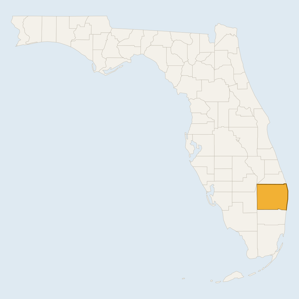
Step 1: Florida Drawn from U.S. Census Bureau cartographic boundaries. 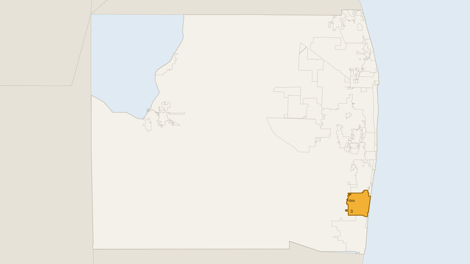
Step 2: Palm Beach County Drawn from Palm Beach County open-data boundary layers. 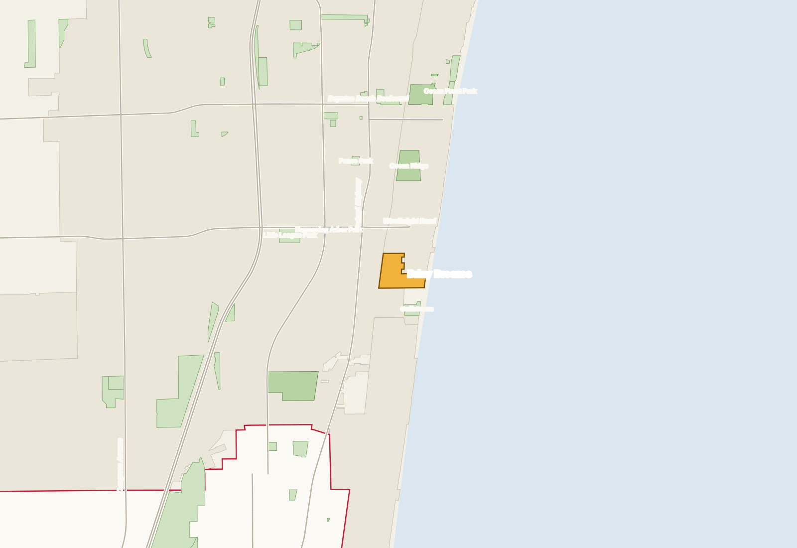
Step 3: Around Briny Breezes Drawn from the county's municipal, road and park layers. Step 4: Briny Breezes Drawn from the county's municipal-boundary and road layers.
Is Briny Breezes its own town?
Yes. The county's municipal-boundary map holds it as the Town of Briny Breezes, one of 39 municipalities.
Is Briny Breezes part of Boynton Beach?
No. It is its own town, though its ZIP code 33435 has a Boynton Beach mailing address.
How big is Briny Breezes?
Its town limit encloses about 45 acres.
Which places share a boundary with Briny Breezes?
The city of Boynton Beach, the town of Ocean Ridge and a small unincorporated area of Palm Beach County.
What kind of homes are in Briny Breezes?
County property records list 479 mobile-home co-operative parcels in the town.
How far is Briny Breezes from I-95?
About 1.6 road miles.
Is Briny Breezes in a hurricane evacuation zone?
Yes. Zones A, B and C each cover part of the town.
How was this page built?
Every statement of fact on this page was checked against its source. The current check ran on 5 November 2026. 13 statements are confirmed by a query against a government dataset. 13 distances are calculated by us on the U.S. Census road map from places confirmed in those datasets, and are labelled as calculated.
- Palm Beach County Municipal Parks — 5 statements, calculated by us from this dataset, retrieved 5 November 2026. Evidence: modeled
- Palm Beach County Municipal Boundaries — 4 statements, calculated by us from this dataset, retrieved 5 November 2026. Evidence: modeled
- Palm Beach County Road Centerlines — 3 statements, from a government dataset query, retrieved 5 November 2026. Evidence: observed
- Palm Beach County Municipal Boundaries — 3 statements, from a government dataset query, retrieved 5 November 2026. Evidence: observed
- Palm Beach County Property Appraiser — property table — 3 statements, from a government dataset query, retrieved 5 November 2026. Evidence: observed
- U.S. Census Bureau TIGERweb — Primary Roads — 3 statements, calculated by us from this dataset, retrieved 5 November 2026. Evidence: modeled
- Palm Beach County Evacuation Zones — 2 statements, from a government dataset query, retrieved 5 November 2026. Evidence: observed
- Palm Beach County Road Centerlines — 2 statements, from a government dataset query, retrieved 5 November 2026. Evidence: observed
- Palm Beach County County Parks — 1 statement, calculated by us from this dataset, retrieved 5 November 2026. Evidence: modeled
Reviewed 5 November 2026 by Peter Mergenthaler Jr, Broker · Data as of 5 November 2026